Paths

Bocheta da Tropion

circle Closed
Trekking excursion

Period
JUN - SEP

Length
5 Km 394 m

Duration
02:44

Difficulty
square square square

Bocheta da Tropion
Path detail

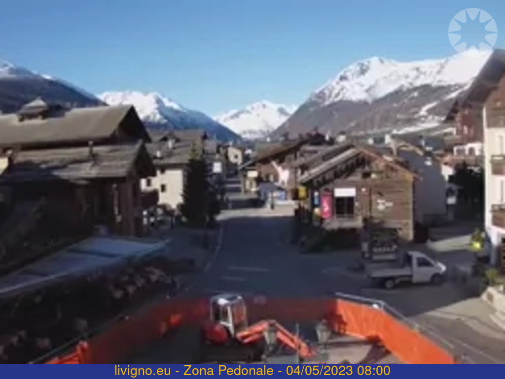
Start at the parking place P3 Calche'ira direction Val Salie'nt on the path N175 dedicated to the Alpine Guide of Livigno, Lodovico Cusini. The first part of the path is characterized by a larch woo, rich of alpine flora to Mesce'nt, where the path gets more challenging and steep. Once at the Baite'l da la Sascia turn left and go up to the Boche'ta da Tropion at 2'782 meters over the sea, which is on the border with Switzerland. Here typical mountain flora with a great view. This area, part of the National Park of Stelvio and on the Swiss part with the Swiss National Park is rich of species of flora and fauna.

Details

Start
Start
Parcheggio P 3 Calche'ira

End
End
Boche'ta da Tropio'n

Max. slope inclination
36%

Min. slope inclination
0%

Altitude difference
Altitude difference
920 m

Altitude difference
Altitude difference
4 m

Max altitude
Max altitude
2776 m

Min altitude
Min altitude
1860 m

Other paths

Trekking Tour

E-Bike Trekking excursion Mountain-bike
Length
15 Km 461 m
Duration
04:37
Difficulty
Trekking excursion E-Bike Mountain-bike

Bocheta de Trela

circle Closed
Start from parking area P12 Pont de Rez in Trepalle and then take the western slope: the trail takes you to the bridge connecting the houses of Campacc to Arne'ira. From here path N129 goes gently uphill through a beautiful forest of mountain pines to Tee de Pila. This stretch offers fine views of ...
Length
5 Km 215 m
Duration
01:38
Difficulty
Trekking excursion

Bocheta Canton

circle Closed
Start from the parking space P2 Vie'ira take the stairs to cross the gallery of the Gallo road. Here take the path N176 which is in the prairies in the first part and then in a nice larch and pine forest. Going on, the natural scenery gets wilder. The possibility of seeing wild animals as chamois ...
Length
8 Km 628 m
Duration
03:56
Difficulty
Trekking excursion Mountain-bike

Somp Eira

circle Closed
From parking area P12 Pont da Rez take path N127, first steeply via hairpin bends then more smoothly parallel to the road passing through the village of Trepalle. You first reach the Tea del Somarin, then you cross the Trepalle chairlift past Sgembre' until you reach the Eira Pass So'mp Eira. From ...
Length
5 Km 586 m
Duration
00:28
Difficulty
Trekking excursion

Carosello 3000

circle Closed
Length
4 Km 393 m
Duration
01:41
Difficulty
Trekking excursion Mountain-bike

Baitel dal Moton da lAl

circle Closed
Start from parking area P6 La Tresge'nda: the first stretch is a paved bridleway up to Pont da l'Al. From here there is a dirt bridleway, path N119, that winds up through a forest of larch and fir trees, with numerous plant species described by information panels along the trail. The forest gives ...
Length
3 Km 739 m
Duration
00:27
Difficulty
Trekking excursion

Piz di Rin

circle Closed
Length
6 Km 356 m
Duration
04:14
Difficulty
Trekking excursion Mountain-bike Joëlette E-Bike

Valle Alpisella

circle Closed
The tour starts from the parking area near the Church of San Giacomo di Fraele at Cancano in Valdidentro inquire about accessing the Cancano Lakes by car. Continue along path N199 until the mouth of the Val Alpisella. Here, on the right, starts bridleway N138 which winds through the forest. There ...
Length
5 Km 364 m
Duration
01:41
Difficulty
Trekking excursion

Vedreta dal Paradisin

circle Closed
Start from parking area P8 Al Vach and follow a flat stretch of bridleway, path N101, until the Che'seira dal Vach. From here, take the righthand trail into Val Ne'ira through a forest dominated by the Crosc da Val Ne'ira. The waterfall of Val Ne'ira, the confluence of the Vale'ta stream and the ...
Length
8 Km 942 m
Duration
03:47
Difficulty
Trekking excursion

La Colma

circle Closed
Starting from parking area P10 La Forcola, take path N151 towards La Co'lma, the entrance to the Val da Fain on Swiss territory. To get there you ascend a wellmaintained trail that crosses a steep ridge where care must be taken not to dislodge rocks onto the road below. Once at La Co'lma, near a ...
Length
11 Km 58 m
Duration
03:49
Difficulty